
Thank you for supporting this site ❤️
Make a donation
Make a donation
Koori topographic map
Click on the map to display elevation.
Thank you for supporting this site ❤️
Make a donation
Make a donation
About this map
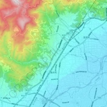
Name: Koori topographic map, elevation, terrain.
Location: Koori, Date County, Fukushima Prefecture, 969-1653, Japan (37.82667 140.45877 37.90155 140.56496)
Average elevation: 230 m
Minimum elevation: 37 m
Maximum elevation: 904 m
Thank you for supporting this site ❤️
Make a donation
Make a donation