
Gobles topographic map
Interactive map
Click on the map to display elevation.
About this map
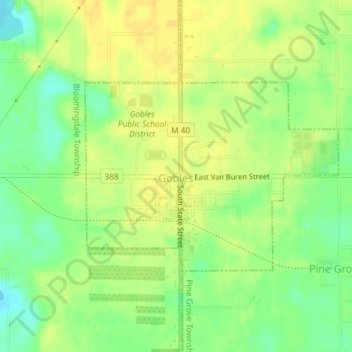
Name: Gobles topographic map, elevation, terrain.
Location: Gobles, Van Buren County, Michigan, United States (42.35373 -85.88890 42.36832 -85.86256)
Average elevation: 245 m
Minimum elevation: 230 m
Maximum elevation: 254 m