
Iwade topographic map
Click on the map to display elevation.
About this map
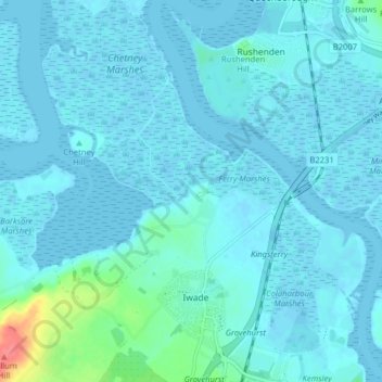
Name: Iwade topographic map, elevation, terrain.
Location: Iwade, Borough of Swale, Kent, England, United Kingdom (51.36561 0.69233 51.41525 0.76622)
Average elevation: 6 m
Minimum elevation: -5 m
Maximum elevation: 63 m