
Rakha Bangdel topographic map
Interactive map
Click on the map to display elevation.
About this map
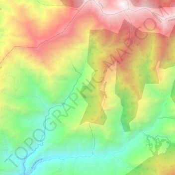
Name: Rakha Bangdel topographic map, elevation, terrain.
Location: Rakha Bangdel, Aiselukharka, Khotang, Province #1, Nepal (27.33467 86.77668 27.43966 86.84988)
Average elevation: 2,047 m
Minimum elevation: 846 m
Maximum elevation: 3,598 m