
Thank you for supporting this site ❤️
Make a donation
Make a donation
Perk topographic map
Click on the map to display elevation.
Thank you for supporting this site ❤️
Make a donation
Make a donation
Perk
Perk ligt aan de N227 tussen Elewijt en Steenokkerzeel. Net ten westen loopt de snelweg A1/E19, die echter geen afrit heeft ter hoogte van Perk.
Thank you for supporting this site ❤️
Make a donation
Make a donation
About this map
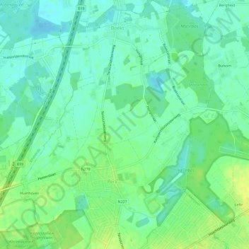
Name: Perk topographic map, elevation, terrain.
Average elevation: 12 m
Minimum elevation: 4 m
Maximum elevation: 21 m
Thank you for supporting this site ❤️
Make a donation
Make a donation
Other topographic maps
Click on a map to view its topography, its elevation and its terrain.