
Thank you for supporting this site ❤️
Make a donation
Make a donation
Al Qurah topographic map
Click on the map to display elevation.
Thank you for supporting this site ❤️
Make a donation
Make a donation
About this map
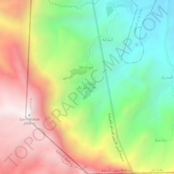
Name: Al Qurah topographic map, elevation, terrain.
Location: Al Qurah, Nakhl, Al-Batina du Sud, Oman (23.11894 57.71484 23.15894 57.75484)
Average elevation: 1,642 m
Minimum elevation: 955 m
Maximum elevation: 2,494 m
Thank you for supporting this site ❤️
Make a donation
Make a donation