
梁庄镇 topographic map
Interactive map
Click on the map to display elevation.
About this map
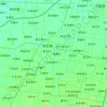
Name: 梁庄镇 topographic map, elevation, terrain.
Location: 梁庄镇, 濮阳市, 河南省, 中国 (35.52545 115.14271 35.63953 115.25020)
Average elevation: 54 m
Minimum elevation: 50 m
Maximum elevation: 58 m
Other topographic maps
Click on a map to view its topography, its elevation and its terrain.