
Okeechobee County topographic map
Click on the map to display elevation.
About this map
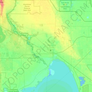
Name: Okeechobee County topographic map, elevation, terrain.
Location: Okeechobee County, Florida, United States (26.95892 -81.21372 27.64324 -80.67736)
Average elevation: 12 m
Minimum elevation: -3 m
Maximum elevation: 44 m