
Thank you for supporting this site ❤️
Make a donation
Make a donation
Horseshoe Bay topographic map
Click on the map to display elevation.
Thank you for supporting this site ❤️
Make a donation
Make a donation
About this map
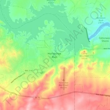
Name: Horseshoe Bay topographic map, elevation, terrain.
Location: Horseshoe Bay, Llano County, Texas, 78657, United States (30.50421 -98.40698 30.58421 -98.32698)
Average elevation: 286 m
Minimum elevation: 224 m
Maximum elevation: 368 m
Thank you for supporting this site ❤️
Make a donation
Make a donation