
Thank you for supporting this site ❤️
Make a donation
Make a donation
Halstenbek topographic map
Click on the map to display elevation.
Thank you for supporting this site ❤️
Make a donation
Make a donation
About this map
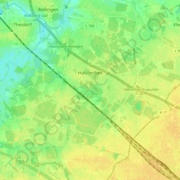
Name: Halstenbek topographic map, elevation, terrain.
Location: Halstenbek, Kreis Pinneberg, Schleswig-Holstein, 25469, Germany (53.60930 9.79880 53.64728 9.88499)
Average elevation: 16 m
Minimum elevation: 2 m
Maximum elevation: 25 m
Thank you for supporting this site ❤️
Make a donation
Make a donation
Other topographic maps
Click on a map to view its topography, its elevation and its terrain.