
Endenburg topographic map
Interactive map
Click on the map to display elevation.
About this map
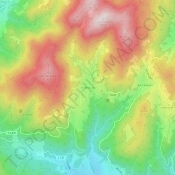
Name: Endenburg topographic map, elevation, terrain.
Average elevation: 679 m
Minimum elevation: 394 m
Maximum elevation: 988 m
Other topographic maps
Click on a map to view its topography, its elevation and its terrain.
Kirchhausen
Deutschland > Baden-Württemberg > Landkreis Lörrach > Steinen
Kirchhausen, Steinen, Malsburg-Marzell, Landkreis Lörrach, Baden-Württemberg, 79692, Deutschland
Average elevation: 670 m