
Holzheim topographic map
Interactive map
Click on the map to display elevation.
About this map
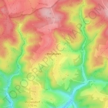
Name: Holzheim topographic map, elevation, terrain.
Location: Holzheim, Luik, Wallonië, België (50.33054 6.27413 50.37054 6.31413)
Average elevation: 568 m
Minimum elevation: 470 m
Maximum elevation: 649 m