
Cadavedo topographic map
Interactive map
Click on the map to display elevation.
About this map
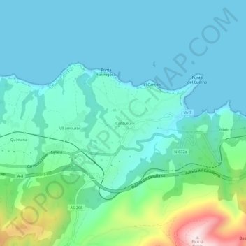
Name: Cadavedo topographic map, elevation, terrain.
Location: Cadavedo, Asturias, 33788, España (43.52978 -6.40623 43.56978 -6.36623)
Average elevation: 94 m
Minimum elevation: 0 m
Maximum elevation: 485 m