
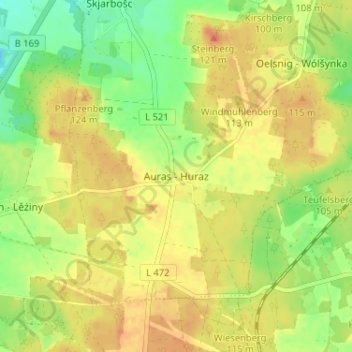
Auras - Huraz topographic map
Interactive map
Click on the map to display elevation.
About this map
Name: Auras - Huraz topographic map, elevation, terrain.
Location: Auras - Huraz, Spree-Neiße, Brandebourg, Allemagne (51.64601 14.26416 51.68601 14.30416)
Average elevation: 103 m
Minimum elevation: 80 m
Maximum elevation: 120 m