
Rothenbergen topographic map
Interactive map
Click on the map to display elevation.
About this map
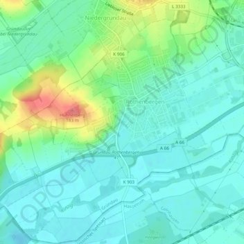
Name: Rothenbergen topographic map, elevation, terrain.
Location: Rothenbergen, Gründau, Main-Kinzig-Kreis, Hessen, Deutschland (50.18166 9.08146 50.21192 9.12900)
Average elevation: 136 m
Minimum elevation: 117 m
Maximum elevation: 189 m
Other topographic maps
Click on a map to view its topography, its elevation and its terrain.
Gettenbach
Deutschland > Hessen > Gründau
Gettenbach, Gründau, Main-Kinzig-Kreis, Regierungsbezirk Darmstadt, Hessen, 63584, Deutschland
Average elevation: 238 m