
Thank you for supporting this site ❤️
Make a donation
Make a donation
Cagdara-o topographic map
Click on the map to display elevation.
Thank you for supporting this site ❤️
Make a donation
Make a donation
About this map
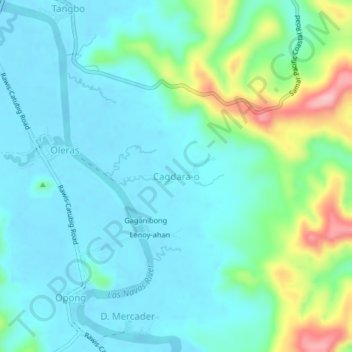
Name: Cagdara-o topographic map, elevation, terrain.
Location: Cagdara-o, Northern Samar, Eastern Visayas, Philippines (12.42686 125.03173 12.46686 125.07173)
Average elevation: 36 m
Minimum elevation: -2 m
Maximum elevation: 166 m
Thank you for supporting this site ❤️
Make a donation
Make a donation