
吉塘镇 topographic map
Interactive map
Click on the map to display elevation.
About this map
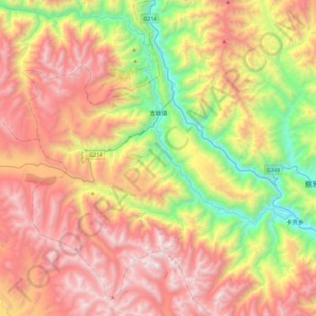
Name: 吉塘镇 topographic map, elevation, terrain.
Location: 吉塘镇, 察雅县, 昌都市, 西藏自治区, 中国 (30.50969 97.17502 30.85501 97.49134)
Average elevation: 4,302 m
Minimum elevation: 3,051 m
Maximum elevation: 5,606 m
Other topographic maps
Click on a map to view its topography, its elevation and its terrain.