
花神湖 topographic map
Interactive map
Click on the map to display elevation.
About this map
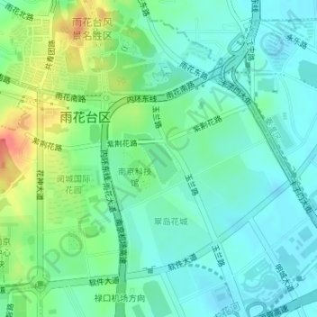
Name: 花神湖 topographic map, elevation, terrain.
Location: 花神湖, 雨花街道, 雨花台区, 南京市, 江苏省, 中国 (31.98729 118.77778 31.99166 118.78323)
Average elevation: 25 m
Minimum elevation: 8 m
Maximum elevation: 64 m