
上湖村 topographic map
Interactive map
Click on the map to display elevation.
About this map
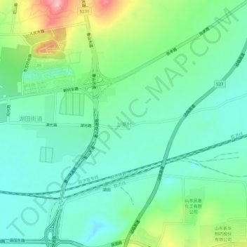
Name: 上湖村 topographic map, elevation, terrain.
Location: 上湖村, 淄博市, 山东省, 中国 (36.76925 118.10908 36.80925 118.14908)
Average elevation: 91 m
Minimum elevation: 45 m
Maximum elevation: 209 m
Other topographic maps
Click on a map to view its topography, its elevation and its terrain.