
Municipio Porco topographic map
Interactive map
Click on the map to display elevation.
About this map
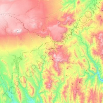
Name: Municipio Porco topographic map, elevation, terrain.
Average elevation: 4,096 m
Minimum elevation: 3,320 m
Maximum elevation: 4,896 m
Other topographic maps
Click on a map to view its topography, its elevation and its terrain.
Ingenio Porco
Bolivia > Potosí > Municipio Porco > Ingenio Porco
Ingenio Porco, Municipio Porco, Antonio Quijarro, Potosí, Bolivia
Average elevation: 4,206 m