
Aïn Ferhat topographic map
Interactive map
Click on the map to display elevation.
About this map
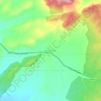
Name: Aïn Ferhat topographic map, elevation, terrain.
Location: Aïn Ferhat, Zorg, Daïra Aïn Beïda, Oum El Bouaghi, Algérie (35.76766 7.44797 35.80766 7.48797)
Average elevation: 1,105 m
Minimum elevation: 1,035 m
Maximum elevation: 1,231 m