
Thank you for supporting this site ❤️
Make a donation
Make a donation
Arcola topographic map
Click on the map to display elevation.
Thank you for supporting this site ❤️
Make a donation
Make a donation
About this map
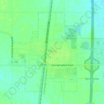
Name: Arcola topographic map, elevation, terrain.
Location: Arcola, Douglas County, Illinois, 61910, United States (39.67357 -88.32082 39.69537 -88.28359)
Average elevation: 206 m
Minimum elevation: 199 m
Maximum elevation: 211 m
Thank you for supporting this site ❤️
Make a donation
Make a donation