
Ligne de Châteauneuf-sur-Charente à Saint-Mariens - Saint-Yzan topographic map
Interactive map
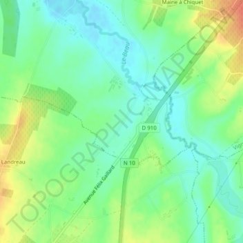
Click on the map to display elevation.
About this map
Name: Ligne de Châteauneuf-sur-Charente à Saint-Mariens - Saint-Yzan topographic map, elevation, terrain.
Average elevation: 59 m
Minimum elevation: 41 m
Maximum elevation: 87 m