
Thank you for supporting this site ❤️
Make a donation
Make a donation
Hassi Delaa topographic map
Click on the map to display elevation.
Thank you for supporting this site ❤️
Make a donation
Make a donation
About this map
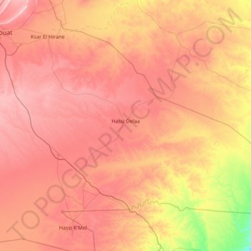
Name: Hassi Delaa topographic map, elevation, terrain.
Location: Hassi Delaa, Hassi R'Mel District, Laghouat, 03022, Algeria (32.99046 3.15658 33.79995 4.47980)
Average elevation: 712 m
Minimum elevation: 433 m
Maximum elevation: 980 m
Thank you for supporting this site ❤️
Make a donation
Make a donation