
Chametla topographic map
Interactive map
Click on the map to display elevation.
About this map
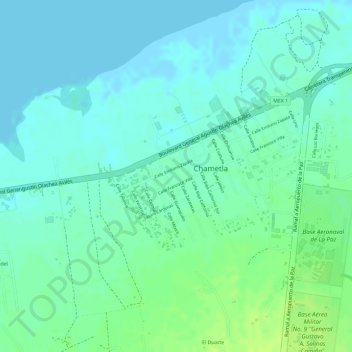
Name: Chametla topographic map, elevation, terrain.
Location: Chametla, La Paz, Baja California Sur, México (24.09282 -110.38375 24.10503 -110.36692)
Average elevation: 6 m
Minimum elevation: 0 m
Maximum elevation: 15 m