
Solok topographic map
Interactive map
Click on the map to display elevation.
About this map
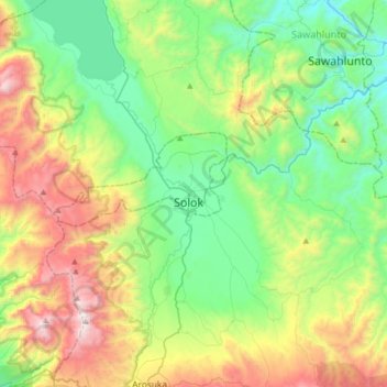
Name: Solok topographic map, elevation, terrain.
Location: Solok, Nagari TIMBULUN, West Sumatra, Indonesia (-0.95222 100.49733 -0.63222 100.81733)
Average elevation: 735 m
Minimum elevation: 194 m
Maximum elevation: 1,878 m