
Oosthem topographic map
Interactive map
Click on the map to display elevation.
About this map
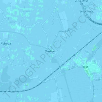
Name: Oosthem topographic map, elevation, terrain.
Location: Oosthem, Súdwest-Fryslân, Friesland, Nederland, 8618, Nederland (52.99627 5.58086 53.03627 5.62086)
Average elevation: -1 m
Minimum elevation: -6 m
Maximum elevation: 3 m