
Picota topographic map
Interactive map
Click on the map to display elevation.
About this map
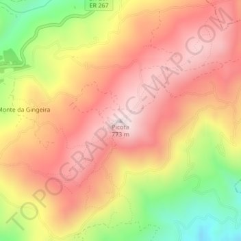
Name: Picota topographic map, elevation, terrain.
Location: Picota, Monchique, Faro, Algarve, 8550-467 MONCHIQUE, Portugal (37.30765 -8.53163 37.30775 -8.53153)
Average elevation: 548 m
Minimum elevation: 233 m
Maximum elevation: 757 m
Other topographic maps
Click on a map to view its topography, its elevation and its terrain.
Cascata do Chilrão
Portugal > Algarve > Monchique
Cascata do Chilrão, Monchique, Faro, Algarve, 8550-218, Portugal
Average elevation: 558 m