
Bream topographic map
Click on the map to display elevation.
About this map
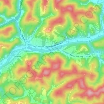
Name: Bream topographic map, elevation, terrain.
Location: Bream, Kanawha County, West Virginia, United States (38.38343 -81.54901 38.42343 -81.50901)
Average elevation: 253 m
Minimum elevation: 167 m
Maximum elevation: 351 m