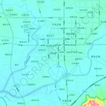
Geolocate

平谷镇 topographic map

Interactive map

Click on the map to display elevation.

About this map

Name: 平谷镇 topographic map, elevation, terrain.

Location: 平谷镇, 平谷区, 北京市, 中国 (40.09804 117.05380 40.17804 117.13380)

Average elevation: 30 m

Minimum elevation: 16 m

Maximum elevation: 171 m

Other topographic maps

Click on a map to view its topography, its elevation and its terrain.

峨嵋山村

中国 > 北京市 > 平谷区

峨嵋山村, 平谷区, 北京市, 中国

Average elevation: 123 m

北独乐河村

中国 > 北京市 > 平谷区

北独乐河村, 平谷区, 北京市, 中国

Average elevation: 74 m

西峪水库

中国 > 北京市 > 平谷区 > 西峪村

西峪水库, 西峪村, 平谷区, 北京市, 中国

Average elevation: 254 m

平谷区

中国 > 北京市 > 平谷区 > 红石门村

平谷区, 红石门村, 北京市, 中国

Average elevation: 280 m

西山

中国 > 北京市 > 平谷区 > 三白山村 > 西山

西山, 三白山村, 平谷区, 北京市, 中国

Average elevation: 102 m