
Bordj T'har topographic map
Interactive map
Click on the map to display elevation.
About this map
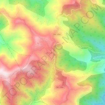
Name: Bordj T'har topographic map, elevation, terrain.
Location: Bordj T'har, Bordj Tahar, Daïra Chekfa, Jijel, Algérie (36.72694 6.01428 36.76694 6.05428)
Average elevation: 553 m
Minimum elevation: 166 m
Maximum elevation: 870 m