
Thank you for supporting this site ❤️
Make a donation
Make a donation
Кыржа topographic map
Click on the map to display elevation.
Thank you for supporting this site ❤️
Make a donation
Make a donation
About this map
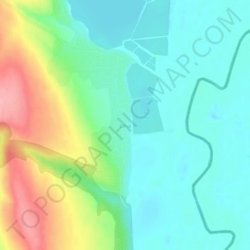
Name: Кыржа topographic map, elevation, terrain.
Location: Кыржа, Мурджены, Васлуй, 737371, Румыния (46.12810 28.08931 46.16810 28.12931)
Average elevation: 38 m
Minimum elevation: 2 m
Maximum elevation: 118 m
Thank you for supporting this site ❤️
Make a donation
Make a donation