
Berak-Klea topographic map
Interactive map
Click on the map to display elevation.
About this map
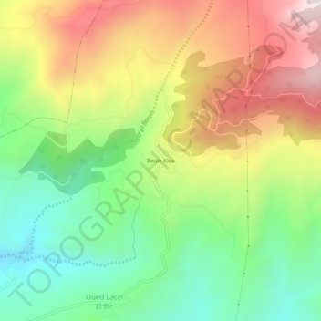
Name: Berak-Klea topographic map, elevation, terrain.
Location: Berak-Klea, Grarem Gouga, Daïra Grarem Gouga, Mila, Algérie (36.52995 6.38595 36.56995 6.42595)
Average elevation: 694 m
Minimum elevation: 317 m
Maximum elevation: 1,182 m