
River Hills topographic map
Interactive map
Click on the map to display elevation.
About this map
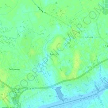
Name: River Hills topographic map, elevation, terrain.
Average elevation: 7 m
Minimum elevation: -7 m
Maximum elevation: 13 m
Other topographic maps
Click on a map to view its topography, its elevation and its terrain.
Little River
United States > South Carolina > Horry County > Little River
Little River, Tybre Downs, Little River, Horry County, South Carolina, 29566, United States
Average elevation: 5 m