
Turtmanngletscher topographic map
Interactive map
Click on the map to display elevation.
About this map
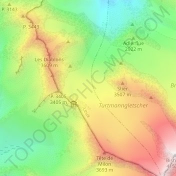
Name: Turtmanngletscher topographic map, elevation, terrain.
Average elevation: 3,088 m
Minimum elevation: 2,323 m
Maximum elevation: 4,152 m
Other topographic maps
Click on a map to view its topography, its elevation and its terrain.
Brunegggletscher
Schweiz > Wallis > Turtmann-Unterems
Brunegggletscher, way to Brunegghorn, Turtmann-Unterems, Leuk, Wallis, 3948, Schweiz
Average elevation: 3,257 m