
Freyre topographic map
Interactive map
Click on the map to display elevation.
About this map
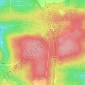
Name: Freyre topographic map, elevation, terrain.
Location: Freyre, Tellin, Neufchâteau, Luxemburgo, Valonia, 6927, Bélgica (50.03652 5.19589 50.05652 5.21589)
Average elevation: 393 m
Minimum elevation: 317 m
Maximum elevation: 435 m