
Kleinschwindau topographic map
Interactive map
Click on the map to display elevation.
About this map
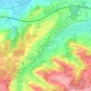
Name: Kleinschwindau topographic map, elevation, terrain.
Location: Kleinschwindau, Bayern, Oberbayern, Bayern, 84405, Deutschland (48.22324 12.13390 48.26324 12.17390)
Average elevation: 510 m
Minimum elevation: 445 m
Maximum elevation: 585 m