
跌水 topographic map
Interactive map
Click on the map to display elevation.
About this map
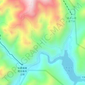
Name: 跌水 topographic map, elevation, terrain.
Location: 跌水, 武陵源区, 张家界市, 湖南省, 427400, 中国 (29.36948 110.49533 29.36958 110.49543)
Average elevation: 629 m
Minimum elevation: 385 m
Maximum elevation: 1,074 m