
沈家门街道 topographic map
Interactive map
Click on the map to display elevation.
About this map
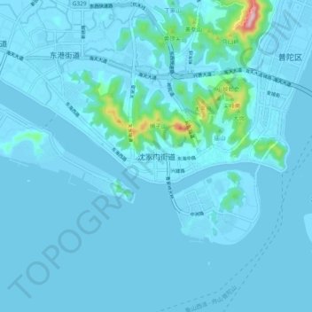
Name: 沈家门街道 topographic map, elevation, terrain.
Location: 沈家门街道, 普陀区, 舟山市, 浙江省, 中国 (29.90794 122.23984 29.98794 122.31984)
Average elevation: 15 m
Minimum elevation: -1 m
Maximum elevation: 280 m