
Thank you for supporting this site ❤️
Make a donation
Make a donation
Baugnez topographic map
Click on the map to display elevation.
Thank you for supporting this site ❤️
Make a donation
Make a donation
About this map
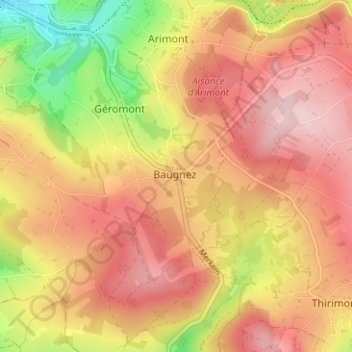
Name: Baugnez topographic map, elevation, terrain.
Location: Baugnez, Malmedy, Verviers, Luik, Wallonië, 4960, België (50.38358 6.04580 50.42358 6.08580)
Average elevation: 482 m
Minimum elevation: 348 m
Maximum elevation: 568 m
Thank you for supporting this site ❤️
Make a donation
Make a donation