
Ajhai Khurd topographic map
Interactive map
Click on the map to display elevation.
About this map
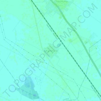
Name: Ajhai Khurd topographic map, elevation, terrain.
Location: Ajhai Khurd, Chhata, Mathura, Uttar Pradesh, 281406, India (27.58270 77.55742 27.62270 77.59742)
Average elevation: 183 m
Minimum elevation: 180 m
Maximum elevation: 186 m