
Mahra topographic map
Interactive map
Click on the map to display elevation.
About this map
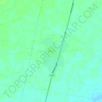
Name: Mahra topographic map, elevation, terrain.
Location: Mahra, Khyber Pakhtunkhwa, Pakistan (31.47927 70.72509 31.51927 70.76509)
Average elevation: 166 m
Minimum elevation: 161 m
Maximum elevation: 169 m