
Porte-Joie topographic map
Interactive map
Click on the map to display elevation.
About this map
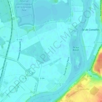
Name: Porte-Joie topographic map, elevation, terrain.
Average elevation: 14 m
Minimum elevation: 7 m
Maximum elevation: 50 m
Other topographic maps
Click on a map to view its topography, its elevation and its terrain.
Porte-de-Seine
France > Normandie > Eure > Porte-de-Seine
Porte-de-Seine, Les Andelys, Eure, Normandie, France métropolitaine, France
Average elevation: 37 m