
Jüngersdorf topographic map
Interactive map
Click on the map to display elevation.
About this map
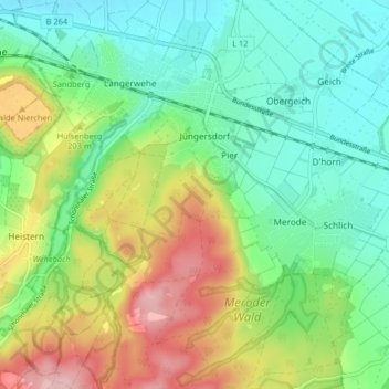
Name: Jüngersdorf topographic map, elevation, terrain.
Average elevation: 172 m
Minimum elevation: 114 m
Maximum elevation: 279 m
Other topographic maps
Click on a map to view its topography, its elevation and its terrain.
Wenau
Deutschland > Nordrhein-Westfalen > Langerwehe
Wenau, Langerwehe, Kreis Düren, Regierungsbezirk Köln, Nordrhein-Westfalen, Deutschland
Average elevation: 199 m