
གཡསརུ་གཙང་པོ་ (叶如藏布) topographic map
Interactive map
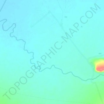
Click on the map to display elevation.
About this map
Name: གཡསརུ་གཙང་པོ་ (叶如藏布) topographic map, elevation, terrain.
Average elevation: 4,396 m
Minimum elevation: 4,385 m
Maximum elevation: 4,464 m