
Clos Saint-Lubin topographic map
Interactive map
Click on the map to display elevation.
About this map
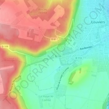
Name: Clos Saint-Lubin topographic map, elevation, terrain.
Average elevation: 69 m
Minimum elevation: 16 m
Maximum elevation: 136 m
Other topographic maps
Click on a map to view its topography, its elevation and its terrain.
Maison Rouge
France > Normandie > Eure > Louviers
Maison Rouge, Louviers, Les Andelys, Eure, Normandie, France métropolitaine, 27400, France
Average elevation: 55 m