
水盞田 topographic map
Interactive map
Click on the map to display elevation.
About this map
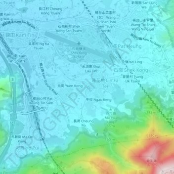
Name: 水盞田 topographic map, elevation, terrain.
Location: 水盞田, 蓮花地, 元朗區, 新界, 香港, 中国 (22.40717 114.06228 22.44717 114.10228)
Average elevation: 71 m
Minimum elevation: 0 m
Maximum elevation: 505 m