
东山镇 topographic map
Interactive map
Click on the map to display elevation.
About this map
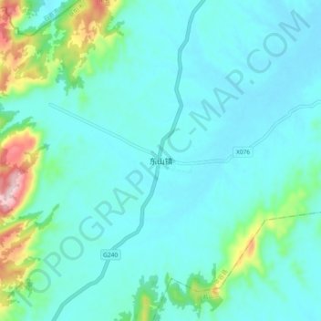
Name: 东山镇 topographic map, elevation, terrain.
Location: 东山镇, 华容县, 岳阳市, 湖南省, 中国 (29.57939 112.72797 29.65939 112.80797)
Average elevation: 82 m
Minimum elevation: 28 m
Maximum elevation: 361 m