
Thank you for supporting this site ❤️
Make a donation
Make a donation
Cohassett topographic map
Click on the map to display elevation.
Thank you for supporting this site ❤️
Make a donation
Make a donation
About this map
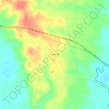
Name: Cohassett topographic map, elevation, terrain.
Location: Cohassett, Conecuh County, Alabama, United States (31.37489 -86.71330 31.41489 -86.67330)
Average elevation: 69 m
Minimum elevation: 39 m
Maximum elevation: 108 m
Thank you for supporting this site ❤️
Make a donation
Make a donation