
Zountar topographic map
Interactive map
Click on the map to display elevation.
About this map
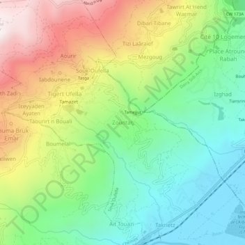
Name: Zountar topographic map, elevation, terrain.
Location: Zountar, Souk Oufella, Daïra Chemini, Béjaïa, 06042, Algérie (36.57696 4.62442 36.61696 4.66442)
Average elevation: 490 m
Minimum elevation: 93 m
Maximum elevation: 1,122 m